Starts @
₹15,499.00
Explore the world with us, one adventure at a time.
Bali Pass Trek
(60 Reviews)
4.5/5
Share On
Package Details
Per Person
₹15,499.00
Starts@
Duration
8 Days
Location
Gangar
Group Size
20
Age Range
18+
Overview
The challenging and thrilling Bali Pass trek connects Yamunotri and Har Ki Dun Valley at an altitude of 5100 metres. Due to its difficult terrain and steep ascents and descents, this excursion is only recommended for experienced hikers. Beginning in Uttarakhand’s Sankri village and concluding at Janki Chatti, the Bali Pass trek provides breathtaking vistas of Bandarpoonch, Kalanag, and Swargarohini peaks. The trek also includes a visit to the alpine meadows of Dev Thach in the heart of the Ruinsara forest, as well as the mythological lake of Ruinsara. The Bali Pass trek is one of the least travelled trails in the Indian Himalayas, making it ideal for adventurers seeking a unique trekking experience. May through June and September through October are the optimal months for this trip.
Complete Itinerary
- Duration: 9-10 hour drive from Dehradun
- Altitude: 6,520 ft
Whenever you are going through a certain area, there are some sites and individuals that you look at with a healthy dose of jealousy. One of these places is Gangar, which is one of the most beautiful villages we have ever seen. It has a mountain background, colourful trees, a river that flows by the side, wooden houses, terrace farms, and everything else that could be included on a postcard. While we were on our way to the Bali Pass, we passed by this settlement. Fortunately, we were able to camp close to the village on the leg that we were returning from, and we had sufficient energy reserves to go about the area.
Early in the morning, leave the campsite and follow the trail leading ahead. Pass a cemented bridge and follow the trail going ahead. Observe the Osla wooden bridge, which crosses the Supin River and leads to the Osla village, to your right. The trail is well-defined and relatively flat, with few gentle ascents. Following a 20-minute trek, you will reach Seema. Seema is dotted with dhabas, GMVN, and forest guesthouses. A 200-metre-long vigorous walk will bring you to a second bridge that crosses the River Supin. Do not transgress the line. Take the trail leading downhill, keeping the Supin River on your left as you travel under the bridge. Ensure that you do not ascend the trail from here. Note that the trail progressively ascends from this point forward as you approach the entrance to Ruinsara Valley. Pass by a series of streams and areas prone to landslides. As you enter Ruinsara Forest 30 minutes into the walk, you will cross a succession of enormous boulders. The trail ascends steeply over the boulders from this point. As you approach the point where the trail turns to the right, leave the river below you and ascend quickly. As you enter the Ruinsara Valley, you will be able to see Osla village behind you for the final time from this point. After another 30 minutes of level walking, you will reach the Devsu Thach Meadows.
- Trek Duration: 4-5 hours | Trek Distance: 10 km
- Altitude gain: 9,795 ft to 11,450 ft
- GPS Coordinates: N 31° 04.831, E 78° 27.499
From Devsu Thatch, search for a forest path that descends steeply to the Ruinsara river. The descent is precipitous and rapid. After approximately 15 minutes and 100 metres of cautious descent, you reach a wooden bridge spanning River Ruinsara. Observe the Ruinsara Valley to the right of you. Take the trail inside the valley, with the river on your right, after crossing the bridge.
The next 45 minutes of the trail consist of a series of gradual, level ascents over boulders and sections of riverside pasture. Observe the cement house in front of you. This location is ideal for camping and meal breaks.
As you travel deeper into the valley, the condition of the trail swiftly deteriorates from this point forward. After traversing three mountain bends, you will encounter a succession of landslip zones. In these sections, the trails have been entirely or partially broken. Use extreme caution when traversing these sections.
Depending on the circumstances, traversing the broken bends may require the use of ropes. Continue along this path for another hour and a half until you reach a waterfall on your left. Descend the trail and continue past the waterfall. As you exit the last bend and enter a series of meadows covered with glacial snow and scree, the trail climbs steeply again. Traverse this ridge with caution.
In a few minutes, you'll come across an enormous meadow with birch forests forming a background. The Untigad campsite is an additional thirty minutes away on foot. Here, a modest river bridge crosses a tributary of Ruinsara. The crossing is relatively easy. Once the river has been traversed, proceed straight and rejoin the trail adjacent to River Ruinsara. Look for a temporary bridge across the river. Untigad is the land to the left of this bridge.
We get an early start on the day so that we may there before the afternoon. Along the glacier moraine, we set up camp as we descend below the pass. When you have the valley below you and the pass behind you, this is one of the nicest places to set up tent. Camping at this elevation is a novel experience that is only available on a small percentage of treks.
Today is a light day with a promise of excellent views of the entire Ruinsara and Kyarkoti Valley. Cross the bridge from your campsite and take the trail on the left that is prone to landslides. As you ascend through a labyrinth of debris, the mountain ridge is entirely fragmented. It will take you 20 minutes to traverse this until you reach level ground and can see a tributary of the Ruinsara River on your left.
Determine a suitable location for the river crossing. It is recommended to begin early so that the water profundity is not too great. There is no makeshift bridge, so crossing this tributary may require boulder hopping. A rope can be useful, though it is not required. Once across, continue directly towards the snow moraine in front of you, keeping Ruinsara River on your left.
The magnificent Swargarohini ranges are now fully visible for the first time. In the upcoming meadows, the first snowflakes will be visible. Cross these meadows and proceed to the right side of the valley as you begin to ascend significantly. As you approach the snow line, the ascent becomes progressively steeper. In this section, where the snow is slick, micro spikes or crampons come in useful.
The path leading to Odari veers to the right. You have now entered a funnel-shaped valley. In one or two hours (depending on the rate of ascent), you will reach the summit of the initial ridge. One can see a modest snow ridge from here. Behind this ridge are the Odari ice fields.
Outstanding views of Kyarkoti to the left and Swargarohini massif behind you. From here to the B.C. is an additional 20 to 30 minutes of gradual ascent over slick snow. Observe a flat ice field interspersed with a few semifrozen glacial ponds. This is Base Camp in Bali. Look for level terrain for tent pitching. On frozen snow in June and July, tents will be erected. You will continue trekking and proceed to the Advanced Base Camp of Bali, which is another two to three hours distant along a snow ridge. Rest in the camp there and sleep after dinner.
The ascent to Bali Pass is precipitous, and you may need an experienced guide to locate the route. Here there are no crevasses, but there is a great deal of snow. For secure footing, an ice axe is beneficial here. It is not recommended to ascend in a direct line. Making trails with scissor bends is more practicable.
The ascent can take between 45 minutes and one and a half hours. As you reach the summit of the mountain pass, you will have your first glimpse of the Yamunotri side of the valley.
The summit of Bali Pass is 10 minutes of additional ascent along the connecting ridge to your left. The final ascent is again steep but manageable. The summit of the Bali pass has sufficient space for 30 to 40 individuals to congregate.
Once you reach the summit of Bali Pass, you will have a 360-degree view of the Ruinsara and Yamunotri sidess. One can view Bandarpoonch (White Peak) and Kalanag (Black Peak), as well as the route to Saptarishikund.
Examine the Yamunotri side of the mountain for a connecting snow ridge that descends. This will be your point of descent. In the initial 60-70 metres, fixed ropes must be installed. When descending, care must be given. On the Yamunotri side, the second segment of descent can be accomplished by gliding down towards the A.B.C. site.
Today is a simple day. Follow the trail leading down into the lower Damini forest. You will reach the old Yamunotri trail after 30 minutes of precipitous descent on a well-defined trail. To reach the Yamunotri temple, you must make a diversion at this point. If not, turn right and continue along the trail that descends to the new Yamunotri to Janakichatti pilgrim trail.
From here, the trail is paved, and one can reach Janakchatti in a couple of hours. Take a bus or shared jeep from Janakchatti to Dehradun or Barkot.
Inclusion & Exclusion
Transportation with pick-up on Day 1 and ending with drop on last day.
Every meal is vegetarian (sometimes eggs will also be served), beginning with breakfast on day one and continuing through lunch on last day.
Staff consisting of a professional guide, a chef, and support team.
Equipment for camping, such as stools, toilet seats, and other seats, sleeping bags, crampons
Fees required to enter the forest.
Tented accommodation throughout the trek, with guests sharing tents in twin-person ratios.
Medical kits
All necessary permits
Insurance
Support from a porter and a mule to carry one’s personal belongings. Porter/mule costs for personal baggage* per bag per person INR 300 per day.
Transportation from your hometown and back
Personal costs like tips, foods from stalls, phone calls, etc.
Any costs that are incurred as a result of unanticipated occurrences such as adverse weather, obstacles, medical evacuation, etc.
Things to Carry
Government issues Id Card
Backpack
Headlamp
Sunglasses
Rain gears
Bag rain cover
Woolen and Sun cap
Buff
Thermals
T-shits
Personal first aid kit and medicines
Waterproof Trekking shoes (can be available for rent also*)
Fleece and Down Jacket
Waterproof gloves
Trek pants
Warm socks
Water bottle
Sunscreen and body lotion
Lip balm
Person Toiletries
Sanitizer
Power Bank
Glucose
Chocolates
Tissue paper and Wet Wipes
FAQ's
Reaching the pickup location in Dehradun for the Bali Pass Trek can be done through various modes of transportation. Here's how:
- By Air: If you're traveling from a distant location, the nearest airport is the Jolly Grant Airport in Dehradun. From there, you can take a taxi or a pre-arranged transfer to reach the pickup location.
- By Train: Dehradun is well-connected by rail, with regular trains from major cities like Delhi, Mumbai, Kolkata, and Chennai. Upon arrival at Dehradun Railway Station, you can hire a taxi or use public transportation to reach the pickup point.
- By Bus: Dehradun is also accessible by road, with frequent bus services from nearby cities and towns. The ISBT Dehradun is the main bus terminal. From there, you can take a taxi or local transport to the pickup location.
- By Car: If you're driving to Dehradun, you can follow national highways or state highways, depending on your starting point. Parking facilities may be available near the pickup location or at designated parking areas.
- Pickup Arrangement: We will organize and provide a designated pickup point in Dehradun for trekkers participating in the Bali Pass Trek. This pickup point is often a hotel, guesthouse, or a specified meeting point in the city.
Our team offers good transportation from Dehradun to Gangar and back in the package cost already. But if you wish to come by on your own then from Dehradun, you can hire a taxi or take a bus to reach Gangar.
The Bali Pass Trek typically takes around 7 to 8 days to complete, depending on the route chosen and the pace of the trekking group.
The best time to visit or book Bali Pass Trek package is Mid May to June End and early September to October Mid
The Bali Pass Trek is regarded as a difficult hike best suited for seasoned hikers. It takes place at high altitudes with rough terrain and hard ascents. It is advised to have prior hiking experience and to be in good physical shape.
Bali Pass Trek is suitable for both beginners and experienced trekkers. Any age group above 18 is good to apply for a first-time trekking experience. Adults and seniors should carry doctors' notes for their fitness requirements for the journey. They should be fit enough to cover a 4 km distance in 30 minutes and should be able to carry at least a 10 kg backpack.
The temperature of Bali Pass ranges between 5°C and 10°C during the day, and between -1°C and -5°C at night, which is not too terrible.
The total length of the Bali Pass Trek is approximately 50 to 60 kilometers, depending on the specific route taken.
The Bali Pass Trek is not recommended for beginners due to its challenging nature. It's better suited for those with prior trekking experience and a good level of fitness.
Universal Camper has a luggage storage room in Gangar where trekkers can leave their extra luggage. However, they should make sure that no valuable items or computer gadgets are left behind.
Universal Camper lets you off-load your bags, and it costs about 300 to 500 rupees per bag per day, as long as the weight doesn't go over 9 kg. When you get to Gangar and meet our Base Camp boss and Trek leaders, you can make the same reservation.
The mobile network coverage in the Bali Pass Trek area is limited and unreliable. It's recommended to carry a SIM card from a reliable service provider like JIO or BSNL, which generally have better coverage in remote areas. However, be prepared for intermittent or no network connectivity during the trek.
Why Choose Us
➫ Safety
The group of highly skilled and experienced guides at Unicersal Camper is here to ensure that your trek is as risk-free and trouble-free as is humanly feasible. Every single one of our guides has a medical degree and a wealth of experience putting their education to use in mountainous situations.
➫ Expert Team
The members of our team and guides are the foremost experts in their particular ecosystems. Every guide offers a one-of-a-kind blend of years of expertise in both trekking field and providing services to guests.
➫ Comfort Stay
We make sure that your time on the journey is as pleasant as possible. Tents and sleeping bags are supplied, and guests may choose to share with a partner or three others. Camping gear, including tents and sleeping bags, is always spotless.
➫ Customized Trekking
Today, time is of the essence, and we recognise that you may not be able to modify your schedule to match ours. No need to worry about it; we can create a custom trip for you in which you choose the dates, the route, and the other participants.
➫ Cooked and Hygienic Food
During the journey, the staff from Universal Camper will ensure your safety and provide you with healthy and cooked meals. When it comes to tasty cuisine, they will not settle for second best. Every time you order, you can be certain that you’ll be served with clean, well washed cutlery.
➫ Value for Money
Not only do we provide competitive pricing to our clients but we also take into account the greatest possible variety of options and adaptability in our deliberations. In addition, Our Company offers a safe payment system that alleviates the anxiety and inconvenience associated with travelling by giving simple payment alternatives. These possibilities include credit as well as bank-to-bank transfers and upi payments.
Package Details
Per Person
₹15,499.00
Dehradun to Dehradun
Explore Our
Related Trek
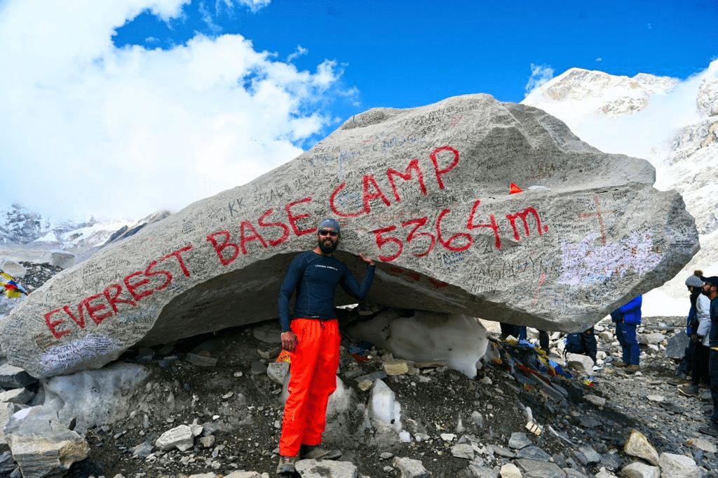
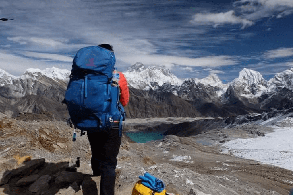
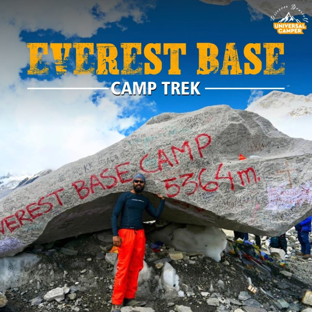
Everest Base Camp Trek
- 14 Days
- Nepal

Hampta Pass Trek
- 5 Days
- Manali
Everest 3 High Passes Trek
- 17 Days
- Nepal


